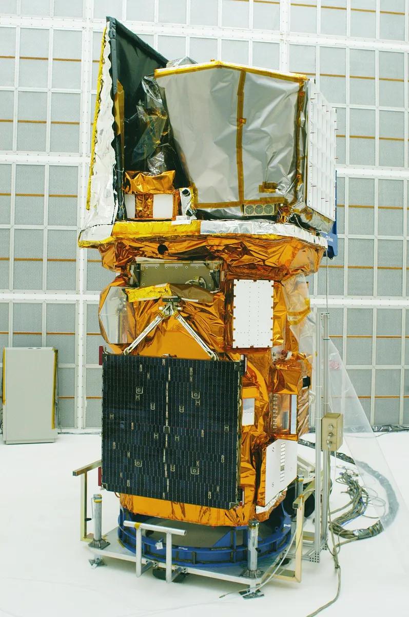


The program meant to replace the satellites that watch American weather from geostationary orbit has lost a third of its spacecraft and most of its new instruments — and the government's own auditor says it cannot yet tell whether the cheaper version is priced correctly.
That is the finding of a Government Accountability Office review of NOAA's Geostationary Extended Observations program, known as GeoXO, completed on September 16, 2026 and released publicly on October 16. The report is catalogued as GAO-26-107739 and carries a blunt subtitle of its own: next-generation program challenges put vital observations at risk.
From six satellites to four
GeoXO is the planned successor to the GOES-R series, the satellites that sit about 22,300 miles above the Earth and give forecasters a fixed, continuous view of the United States. As designed in 2022, the program called for six satellites carrying five instruments, at a projected lifecycle cost of $19.6 billion.
In August 2025 the Department of Commerce ordered the program restructured to cost less. NOAA approved a new baseline in April 2026. It buys four satellites instead of six, flies two instruments instead of five, and carries an expected lifecycle cost of $13 billion.
One of the cuts is geographic. GeoXO was to occupy three orbital positions — East, West and a new Central slot. The Central satellites were removed, leaving the same East-and-West pair the country already has.
What is no longer flying
Two instruments survive, and both were accelerated: a Hyperspectral Infrared Sounder, now planned for all four satellites, and an Infrared Imager, also on all four, with a legacy Advanced Baseline Imager carried on the first spacecraft.
Three capabilities were taken out:
- The updated lightning mapper. A legacy mapper flies on GeoXO-1, but the instrument is descoped on GeoXO-2, 3 and 4. According to Eos, the new version was expected to sharpen thunderstorm and tornado warnings and help diagnose tropical storms.
- The atmospheric composition instrument, used for air-quality monitoring and forecasting and for tracking emissions and airborne hazards such as smoke.
- The ocean color instrument, which identifies harmful algal blooms, monitors coastal water quality and helps track oil spills. The coastal ocean-color coverage was descoped along with it.
A partner payload was also dropped.
"So it is really concerning, and we want to be able to maintain those in the next-generation system," Mike Henry, a former policy analyst at UCAR, NASA and the American Institute of Physics, told Eos about the loss of the lightning instrument.
A spare that expires before the replacement arrives
The restructured schedule, as of the April 2026 baseline, puts GeoXO-1 in orbit in 2032 at the West position, GeoXO-2 in 2034 at East, GeoXO-3 in 2039 and GeoXO-4 in 2043.
That timing creates the gap the GAO is most direct about. NOAA policy requires two operational geostationary satellites plus one operational spare. The spare now in orbit is projected to reach the end of its life in October 2032 — several months before the first GeoXO satellite is fully operational.
If either of the two working satellites were impaired in that window, the report says, "there would be a gap in geostationary weather data." The auditors also found NOAA's contingency planning incomplete: the agency "may not be sufficiently prepared to mitigate potential gaps in geostationary weather satellite data," because its plans do not spell out how call-up spares would be deployed or what the failure scenarios would cost.
$13 billion without an independent check
The cheaper number has not been audited. The program office has not finished an independent cost estimate for the new baseline, so, in the report's words, "it is unclear whether the $13 billion estimate for the proposed restructuring is reasonable."
The older figure was not well documented either. The GAO judged that the 2022 estimate of $19.6 billion only partially met three of the best practices for a well-documented cost estimate, and substantially met one.
On technology, the picture is mixed. GeoXO fully adopted leading practices for managing requirements, only partially adopted contingency planning, and fell short on technology readiness — leaving a program that, the auditors warn, "could enter the production phase of development with immature technologies."
The GAO made three recommendations to the Secretary of Commerce: document the new cost estimate properly, rewrite the contingency plans to cover spare deployment and data gaps, and produce a technology readiness assessment for each instrument. NOAA concurred with all three. All three remain open.
The argument in Congress
The restructuring has a political dispute attached. Representatives Zoe Lofgren of California and Gabe Amo of Rhode Island, the ranking Democrats on the House Science Committee, wrote to NOAA administrator Neil Jacobs on October 19 arguing that the cuts were not only about money. "OMB's motives were hardly subtle," they wrote, in a letter quoted by Eos; they contend the intent was to strip the satellites of their ability to collect climate data. That is their allegation, and the GAO report does not test it.
What the report does establish is narrower and harder to argue with: the two instruments that survived are the ones that feed day-to-day forecasting, and the three that did not were the additions — lightning, air composition and ocean color. The savings are real, at $6.6 billion off the lifecycle estimate. What the auditors say they cannot confirm is the number that replaced it.
Reporting from the Government Accountability Office (GAO-26-107739), NOAA's GeoXO program documents and Eos.