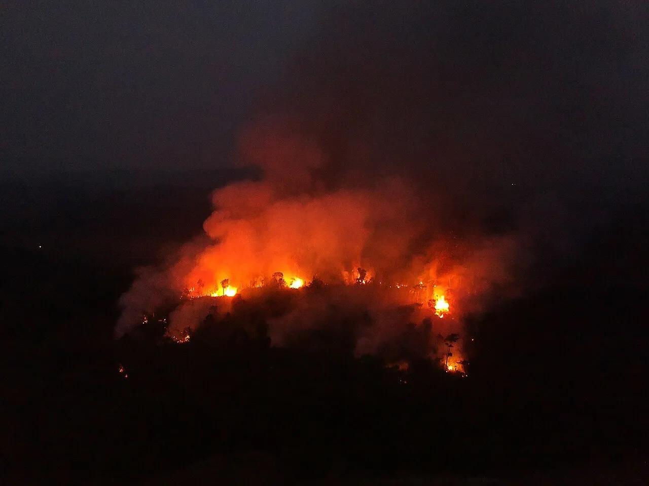

Farming and cattle ranching covered about 65.2 million hectares of the Brazilian Amazon in 2025 — and the expansion is concentrated precisely along the edges of what the law protects. That is the finding of the Amazon cut of MapBiomas Collection 11, released this week, which maps land cover and land use in Brazil from 1985 to 2025.
In the buffer zones — the strips surrounding conservation units, Indigenous lands and quilombola territories — cropland and pasture already account for 30.5% of the area, or 13.6 million hectares. Over 41 years, the farmed area in those strips grew 561%.
Roads are the variable that explains the map
The study crossed land-use data with the road network recorded by the Departamento Nacional de Infraestrutura de Transportes (DNIT), Brazil's federal transport infrastructure agency, and by OpenStreetMap — 618,000 kilometres of roads, unofficial tracks included.
Within five kilometres of a road, 157 million hectares were analysed. Of those, 40.2% (about 63 million hectares) were under farming or pasture. Farther from roads, the share falls to 26.7%. Put another way: more than 96% of all farmland in the biome lies less than five kilometres from some road.
"Roads make it easier to reach areas of native vegetation, which favours processes of occupation and land conversion," Bruno Ferreira, a researcher at the Instituto do Homem e Meio Ambiente da Amazônia (Imazon) and a member of the MapBiomas Amazônia team, told Agência Brasil.
Pasture, cropland and mining
- Pasture: 50.8 million hectares, about 12% of the biome.
- Cropland: 8.6 million hectares, about 2%.
- Mining: 440,000 hectares, against 32,000 at the start of the series — roughly a 14-fold increase.
Deforestation fell; the pressure did not
The figure running the other way is deforestation: 693,000 hectares in 2025, the lowest in the historical series, of which 639,000 was primary vegetation and 54,000 secondary vegetation.
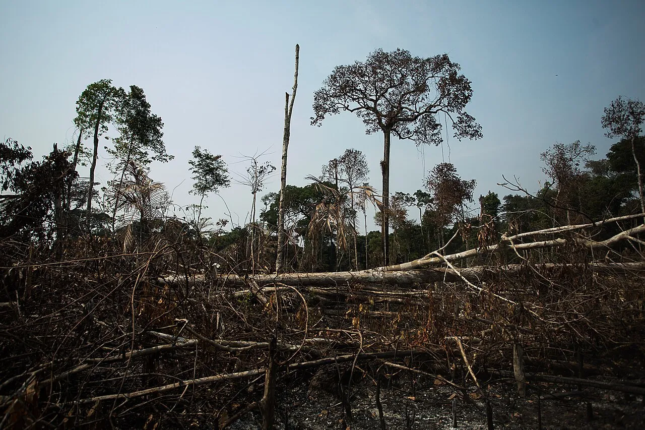
The 41-year total, though, shows the size of the loss. Between 1985 and 2025 the Amazon lost 54.7 million hectares of native vegetation, 49.7 million of it forest formations.
Reading the two numbers together helps make sense of the map: annual clearing is falling overall, while occupation thickens where access already exists — which keeps the pressure on the boundaries of protected territories rather than on continuous, remote forest.
With information from Agência Brasil and Gazeta da Amazônia.