
Mexico's Secretaría de Relaciones Exteriores (SRE, the foreign ministry) has responded to the state of Texas's announcement that nine islands in the Rio Grande are state property, saying a state government has no power to decide where the international boundary runs. "La frontera entre México y Estados Unidos no puede modificarse por decisión de un gobierno estatal" — the border between Mexico and the United States cannot be changed by the decision of a state government — the ministry said, adding that the line is fixed by treaty and that only a binational body can apply it.
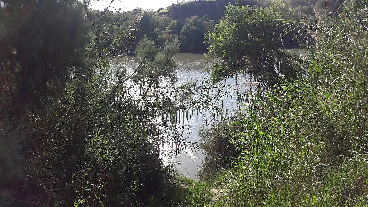
Texas Land Commissioner Dawn Buckingham announced on 26 October 2026 that the state's General Land Office (GLO) had identified nine islands in the river as Texas property. The parcels total roughly 26.7 hectares (about 66 acres) and sit in the stretch between Laredo and McAllen. The river, known in Mexico as the Río Bravo, forms the boundary along that entire section.
A request from the border agency
According to the GLO, the review began with a request from US Customs and Border Protection (CBP) covering 28 islands in that same stretch. The nine now declared state property had until this point been treated as unclaimed land or as having no established owner.
Texas argues that the designation allows the state's Department of Public Safety and its state military forces to enter the islands for patrols, inspections and vegetation clearing. The state cites the risk of drug trafficking, smuggling and human trafficking, although Buckingham acknowledged that authorities have not confirmed criminal activity on any of the nine parcels.
What the 1970 treaty says
The SRE based its answer on the Boundary Treaty signed on 23 November 1970 and in force since 18 April 1972. The agreement establishes that, along the Rio Grande, the international boundary runs down the centre of the river's normal channel, regardless of who previously held any given piece of land.
That is where Mexico's core argument comes from: the Comisión Internacional de Límites y Aguas, known on the US side as the International Boundary and Water Commission (IBWC), is the binational body created to apply the treaty and the only one with authority to determine which side of the border each island falls on. The ministry added that the treaty bars either country from carrying out works that, in the commission's judgement, could divert or obstruct the river's normal flow — an objection aimed squarely at the clearing work Texas has announced.
Mexico said it will monitor any action in the area closely and keep bilateral dialogue going through the mechanisms the treaty provides.
Not the first episode
The move repeats a precedent set by the same office. In September 2023, Buckingham declared that Fronton Island, in Starr County and covering about 69 hectares, was Texas property. State forces then carried out "Operation Flat Top," which stripped the islet's vegetation to make surveillance easier.
The Rio Grande is a moving boundary: its channel shifts with floods and carries sediment, so islands appear, grow and vanish. That is why the 1970 treaty handed a binational body — rather than the authorities on either bank — the job of saying where the line is each time the river moves.
With information from Mexico's Secretaría de Relaciones Exteriores, La Razón, El Imparcial and Infobae.