
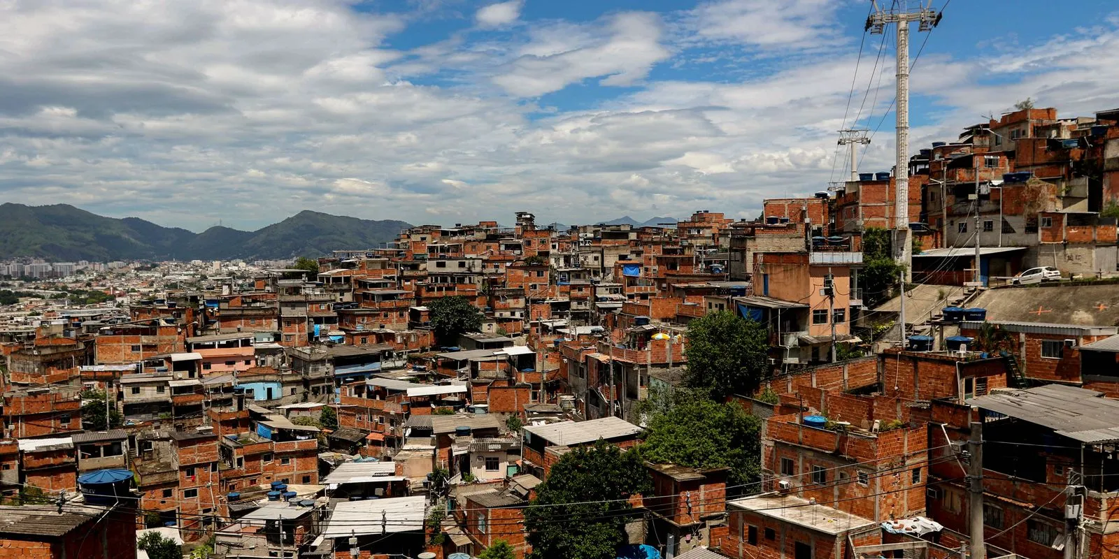
The built-up area of Brazil's favelas and informal communities rose from 60,200 hectares in 1985 to 151,700 in 2025 — growth of more than 150% in four decades. The figure comes from the new urban dataset in MapBiomas Collection 11, released on Wednesday (4), which reconstructs land cover and land use across the country year by year from 1985 onwards.
The number that changes the reading, however, is not the growth. It is the green.
The reversal
In 1985, favelas held 43% more vegetation per urbanised hectare than the rest of Brazil's urban areas. In 2025 they hold 15% less. The density of intra-urban vegetation in these communities fell from 0.060 to 0.040 hectare per urbanised hectare — a loss of roughly a third — while outside them the same indicator rose by about 10%.
The explanation lies in the pace of densification. Inside favelas, intra-urban vegetation grew 1.7-fold over 40 years; outside, 2.6-fold. Urbanised land without vegetation, by contrast, expanded 2.6-fold inside the communities against 2.3-fold elsewhere. In short: where there was more green, it was built over faster.
"For the first time in the series, urbanised area without vegetation exceeds the area of urban vegetation," said Júlio Cesar Pedrassoli, coordinator of the Urban theme at MapBiomas. Nationwide, urban vegetation — intra-urban and peri-urban combined — fell from 6.5 million to 4.1 million hectares, a drop of 35.9%, while urbanised land without vegetation reached 4.24 million hectares.
The size of the map
The survey counts 12,300 favelas in 651 municipalities as of 2025. Of that urbanisation, 60.3% appeared after 1985, and 42.4% at least doubled in size over the period.
The spread across regions is uneven. The North concentrates 27.9% of the area occupied by favelas while accounting for just 9.4% of the country's urbanised land. Manaus has the largest built-up favela area — 10,500 hectares across 235 communities. São Paulo leads on count, with 1,359 favelas covering roughly 6,000 hectares.
Overall, Brazil's urbanised area grew 132%, from 1.9 million to 4.4 million hectares, and now covers 0.5% of the national territory, against 0.2% in 1985. The favelas' share of that total barely moved: from 3.2% to 3.4%.
What they grew over
Inside the communities, 54% of the expansion happened over natural areas. Outside them, growth came mainly at the expense of pasture, which accounted for 38% of the total. In absolute terms, though, conversion of natural vegetation was 17.5 times greater outside the favelas: 866,800 hectares against 49,500 inside.
What that does to heat and rain
The loss of green has a measured thermal effect. In sectors with up to 10% vegetation cover, the average intensity of summer heat islands reaches 5°C — and the gap against non-urbanised land with green cover can reach 7°C. Where vegetation covers 80% of the sector, the difference falls to 1.1°C. The measurement is based on land surface temperature.
Exposure to disasters also rose: built-up favela area sitting in zones of very high flood susceptibility more than doubled, and area in landslide-prone zones grew 12%. MapBiomas notes that these indicators describe the characteristics of the terrain, not a count of disasters that occurred.
"To adapt cities to climate change, we need to look at where the green was lost," Pedrassoli said.
The collection also carries a side figure that helps gauge urban sprawl: between 2013 and 2025, mapped artificial night light grew 37%, the equivalent of 1.7 million hectares. The Southeast accounts for 40% of the lit area; Mato Grosso recorded the largest proportional increase, at 97%.
With information from Agência Brasil, MapBiomas and the newspaper O Tempo/Folhapress.