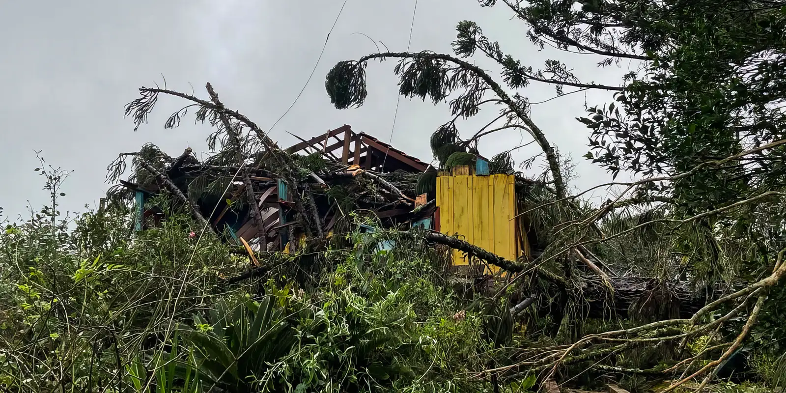
Four people were still missing in Caxias do Sul, in the highlands of Brazil's southernmost state, on Monday afternoon (21), after an extratropical cyclone swept across Rio Grande do Sul between Sunday night and the early hours. The state's Defesa Civil (civil defence agency) has logged incidents in 64 municipalities, 624 people displaced from their homes and 4 in public shelters, while two utilities still counted 623,000 customers without electricity at 1pm.
The system tracked from Argentina towards the Atlantic Ocean and had been flagged with a red alert by the Instituto Nacional de Meteorologia (Inmet, Brazil's national weather service) for south-western Paraná, southern Santa Catarina and much of Rio Grande do Sul, forecasting winds above 100 km/h and hail.
The missing
All four missing people are from Caxias do Sul. In the Parada Cristal neighbourhood, a flash flood swept away a vehicle carrying four occupants: one man was rescued, while a 13-year-old, a four-year-old child and a 43-year-old woman remain unaccounted for. In the De Lazzer neighbourhood, a man disappeared while clearing a storm drain and was carried off by the water.
The city took the heaviest rainfall: 159.4 millimetres in a single day. The strongest gust measured anywhere in the state was 126.7 km/h at Hulha Negra, in the Campanha region.
Power, roads and a building that gave way
CEEE Equatorial, which serves Porto Alegre and the surrounding area, peaked at 588,000 customers without supply at 5am and still had 442,700 at 1pm; it recorded gusts of up to 115 km/h across its concession area. CPFL RGE, which serves the interior, went from 381,400 customers early in the morning to 189,000 during the afternoon. Together, that is 623,000 connections without power at midday.
In Pelotas, the municipal civil defence recorded the partial collapse of a building on Rua Marcílio Dias. A man was seriously injured while attempting to repair a roof during the storm.
In Porto Alegre, the municipal transport authority EPTC logged 90 weather-related incidents by 1pm, with six roads fully blocked, twelve partially closed by fallen trees, branches, cables and poles, and twenty traffic lights out of order.
A "meteotsunami" on the coast
Civil defence also recorded coastal flooding caused by a meteotsunami — a sudden rise in sea level linked to abrupt changes in atmospheric pressure and strong winds. It is unrelated to a seismic tsunami, but can produce rapid inundation along the shoreline.
The alert stands
According to the state civil defence agency, rainfall over the previous 12 hours raised streams and rivers in the Guaíba basin, bringing a risk of flooding and flash floods. Heavy rain was forecast to continue through the afternoon in the northern, valley and highland regions, with 50 to 80 millimetres expected over 12 hours.
The alert remains in force until Wednesday (23), with the possibility of hail and gusts above 90 km/h. In a bulletin issued on Sunday, the civil defence monitoring centre had already projected totals that could locally exceed 150 millimetres in the centre and northern half of the state, along with a tornado risk overnight into Monday.
It is the third episode of severe rainfall to hit Rio Grande do Sul in 2026 followed by emergency declarations across a string of municipalities: in July and August, the civil defence agency had already recognised states of emergency in dozens of towns in the state.
With information from Agência Brasil, the Rio Grande do Sul civil defence agency, Inmet and Agência Estado.